
Makaleler
48
Tümü (48)
SCI-E, SSCI, AHCI (46)
SCI-E, SSCI, AHCI, ESCI (46)
Scopus (35)
TRDizin (2)


7. Determining and evaluating new store locations using remote sensing and machine learning
TURKISH JOURNAL OF ELECTRICAL ENGINEERING AND COMPUTER SCIENCES
, cilt.29, sa.3, ss.1509-1524, 2021 (SCI-Expanded, Scopus, TRDizin)

10. Highly accurate and sensitive short read aligner
TURKISH JOURNAL OF ELECTRICAL ENGINEERING AND COMPUTER SCIENCES
, cilt.26, sa.2, ss.721-731, 2018 (SCI-Expanded, Scopus, TRDizin)
13. LiDAR Data Filtering and DTM Generation Using Empirical Mode Decomposition
IEEE JOURNAL OF SELECTED TOPICS IN APPLIED EARTH OBSERVATIONS AND REMOTE SENSING
, cilt.10, sa.1, ss.360-371, 2017 (SCI-Expanded, Scopus)
16. Road Network Detection Using Probabilistic and Graph Theoretical Methods
IEEE TRANSACTIONS ON GEOSCIENCE AND REMOTE SENSING
, cilt.50, sa.11, ss.4441-4453, 2012 (SCI-Expanded, Scopus)
17. Hands-on DSP education through experiments
INTERNATIONAL JOURNAL OF ELECTRICAL ENGINEERING EDUCATION
, cilt.49, sa.3, ss.302-309, 2012 (SCI-Expanded, Scopus)

27. A Probabilistic Framework to Detect Buildings in Aerial and Satellite Images
IEEE TRANSACTIONS ON GEOSCIENCE AND REMOTE SENSING
, cilt.49, sa.1, ss.211-221, 2011 (SCI-Expanded, Scopus)

35. Urban-Area and Building Detection Using SIFT Keypoints and Graph Theory
Ieee Transactions On Geoscience And Remote Sensing
, cilt.47, ss.1156-1167, 2009 (SCI-Expanded, Scopus)
37. Measuring Land Development in Urban Regions Using Graph Theoretical and Conditional Statistical Features
Ieee Transactions On Geoscience And Remote Sensing
, cilt.45, ss.3989-3999, 2007 (SCI-Expanded, Scopus)
40. Range image registration with edge detection in spherical coordinates
MULTIMEDIA CONTENT REPRESENTATION, CLASSIFICATION AND SECURITY
, cilt.4105, ss.745-752, 2006 (SCI-Expanded)
42. A theoretical and experimental investigation of graph theoretical measures for land development in satellite imagery
IEEE TRANSACTIONS ON PATTERN ANALYSIS AND MACHINE INTELLIGENCE
, cilt.27, sa.4, ss.575-589, 2005 (SCI-Expanded, Scopus)
43. Classifying land development in high-resolution satellite imagery using hybrid structural-multispectral features
IEEE TRANSACTIONS ON GEOSCIENCE AND REMOTE SENSING
, cilt.42, sa.12, ss.2840-2850, 2004 (SCI-Expanded, Scopus)
44. Linearized vegetation indices based on a formal statistical framework
IEEE TRANSACTIONS ON GEOSCIENCE AND REMOTE SENSING
, cilt.42, sa.7, ss.1575-1585, 2004 (SCI-Expanded, Scopus)
45. Classifying, land development in high-resolution panchromatic satellite images using straight-line statistics
IEEE TRANSACTIONS ON GEOSCIENCE AND REMOTE SENSING
, cilt.42, ss.907-919, 2004 (SCI-Expanded, Scopus)
46. Classifying land development in high resolution satellite images using straight line statistics
Proceedings - International Conference on Pattern Recognition
, cilt.16, sa.1, ss.127-130, 2002 (Scopus)
48. Shapes of features and a modified measure for linear discriminant analysis
Proceedings - International Conference on Pattern Recognition
, cilt.15, sa.2, ss.410-413, 2000 (Scopus)
Hakemli Bilimsel Toplantılarda Yayımlanmış Bildiriler
55
Kitaplar
11
Metrikler
Yayın
114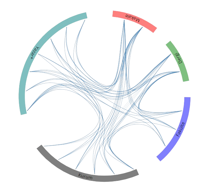
Açık Erişim
6
BM Sürdürülebilir Kalkınma Amaçları